
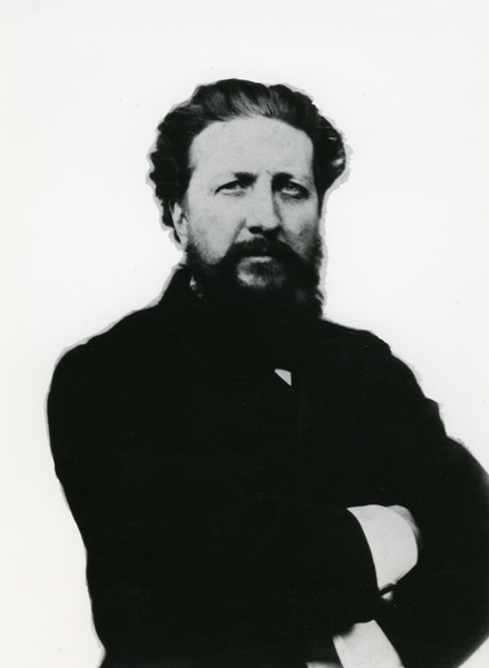
Anthropologist and archaeologist Ernest Chantre, taught by Paul Broca and Gabriel de Mortillet, was appointed a correspondent of the Commission de Topographie des Gaules in 1870.
© MAN
Anthropologist and archaeologist Ernest Chantre, taught by Paul Broca and Gabriel de Mortillet, was appointed a correspondent of the Commission de Topographie des Gaules in 1870.
A pioneer of prehistoric cartography
In 1876, Ernest Chantre proposed the adoption of an international legend for prehistoric maps, largely based on that used by the CTG, at the Congrès international d'anthropologie et d'archéologie préhistorique in Stockholm. Between 1873 and 1888, with Émile Cartailhac, he edited the collection Matériaux pour l'histoire primitive et naturelle de l'Homme. He became a non-resident member of the CTHS in 1891 and was one of the founding members of the Société préhistorique française in 1904.
Travelling far and wide
Ernest Chantre carried out a number of official missions in Turkey, Russia, Caucasia, Cappadocia and Egypt, and secured the first major excavation in Hittite archaeology for France.
He went on to become professor of ethnology and deputy director of the Muséum of Lyon. In 1922, he was appointed a member of the Académie des inscriptions et belles-lettres.


