
On its creation, the Commission de Topographie des Gaules (CTG) quickly set to work. Its first objective was to produce a map which would show Julius Caesar’s various campaigns on Gallic territory.
Using topography...
The Conquest of Gaul by Julius Caesar was an indispensable reference for the CTG on beginning its work. Book in hand, having studied all the documentation then available to them, CTG members set off to try to correlate what they read in Caesar’s text with the topography of the different sites. Given the importance of their task, all their expenses were paid. From 1858, the commission’s president, Félicien de Saulcy, made several journeys on which he aimed to identify the location of the most significant events of the Gallic Wars, such as the Battle of Lutetia, in which Labienus faced the Parisii, and Caesar setting off for Brittany.
Other CTG members, including Alexandre Bertrand and Casimir Creuly, set sail along the Sambre in order to determine the location where the Belgians confronted the Roman legions. The collection and analysis of all the available sources, along with these topographical explorations, led to the publication of the Carte de la Gaule sous le Proconsulat de César in early 1861.
...and archaeology
In some cases, for example in order to locate Alesia, topographical analysis was supplemented by excavations. Their aim was to document siege works of which archaeological evidence may remain. The CTG financed several excavations in locations where it believed the oppidum may have been located. Work took place at Izernore (Ain) as well as at Alise-Sainte-Reine (Côte-d'Or), where the very first results removed all doubt as to the site’s location. Other excavations of emblematic sites from the Gallic Wars were financed by the CTG, including at Bibracte and Uxellodunum.
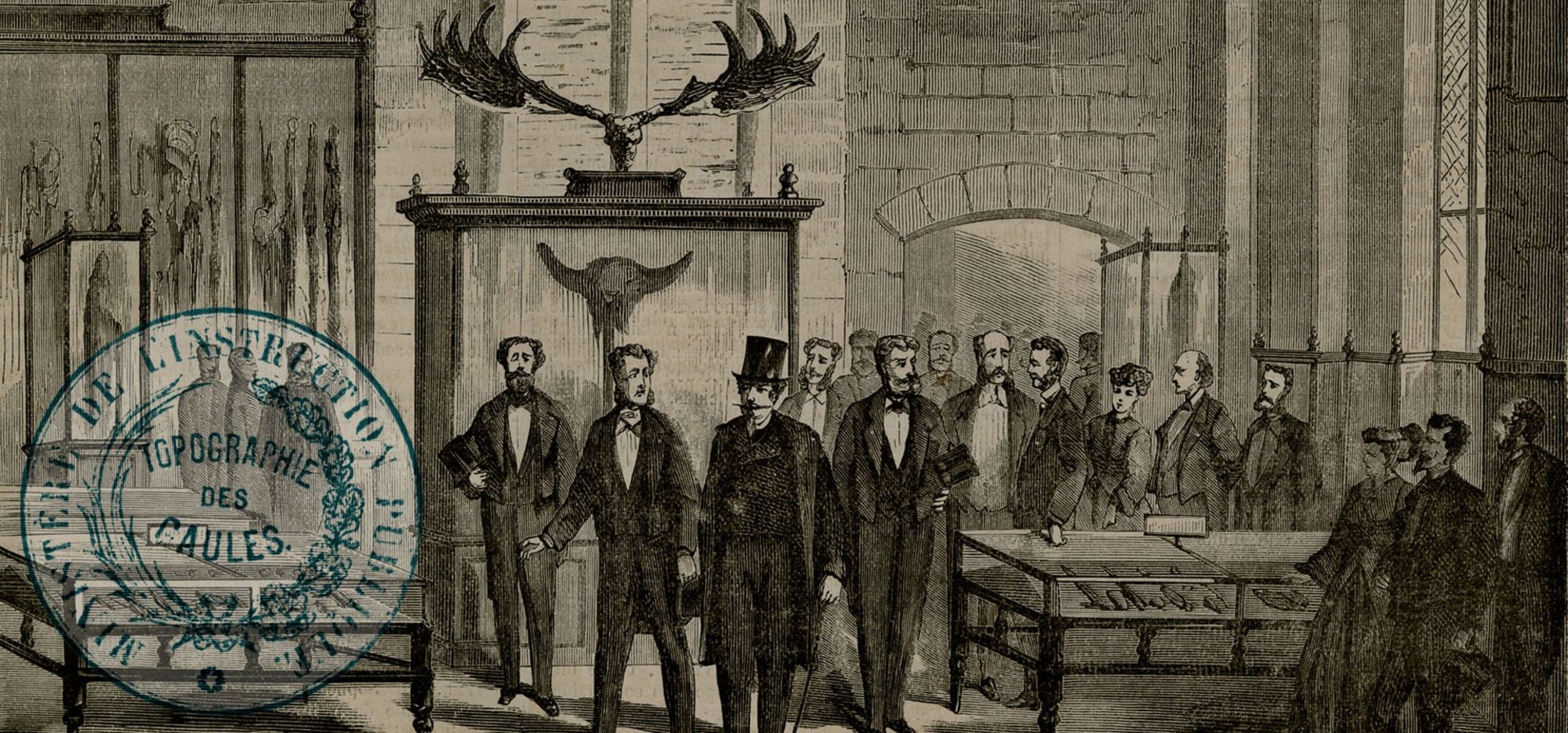
Partners and authors
Associated media
Open Media Library

Report to the emperor on the work of the Commission de Topographie des Gaules, 1861

Album des fouilles d'Alise-Sainte-Reine, produced by the Commission de Topographie des Gaules, 1861-1862

Extract from the Album des fouilles d'Alise-Sainte-Reine, produced by the Commission de Topographie des Gaules, 1861-1862

Les campagnes de Jules César dans les Gaules, by Félicien de Saulcy, 1862
