In 2000, a global archaeological evaluation of Chalain was carried out via core sampling.
The number of distinct archaeological sites nearly doubled. This evaluation enabled archaeologists to propose that the zone listed as a historical monument be divided into areas of different levels of sensitivity.

For this zone, lower that 489 meters bove sea level, any new explosure to air, even temporarily, could prove catastrophic for the archaeological stites, which are still well preserved and visible.
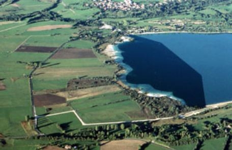
this marsh corresponds to the lake marl zone visble at low-water level. On a botanical level, this is the most vital zone, with plant species that are protected and appear on the IUCN RedList of Threatened Species. In addition, this section of shoreline was particularly attractive for Neolithic and Bronze Age villages.
Finally, this is a highly sensitive zone that cannot tolerate foot traffic. Acces by the public should be completely prohobited.
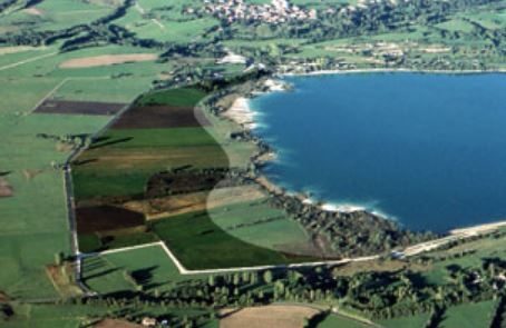
This very fragile zone has already been altered by agricultural activities such as plowing, which destroys the peat. A land acquisition policy may allow the Doucier peat bog, with its instresting landscapes, to be entierely reconstituted.
Throughout this entire zone, mechanized farming, plowing and animal grazing should be stopped, and the vegetation tended entirely by hand. Finally, the artificial drains should be plugged, in order to keep the level of the water table high, which guarantees the survival of these lakeshore archaeological sites.
In this zone, mechanized farming is possible on dry land, provided that the soil is not worked deeper that 30 cm. The ideal solution would be to encourage animal grazing and growing hay instead on cereals.