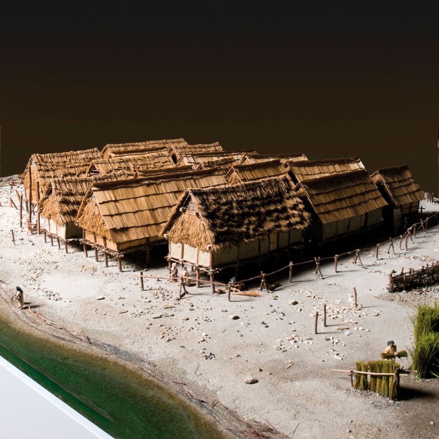
Around the 29th century, the village of Clairvaux III was adapted to a small, partially artificial island, formed from the accumulation of the remains of previous villages.
The change is clear, with the absence of a collectively constructed wooden trackway, a short, fairly weak palisade and houses, very different one from another, grouped around a central space. The spatial organisation of the village is much less coherent, as the population density collapsed with the crisis in the late 30th century.
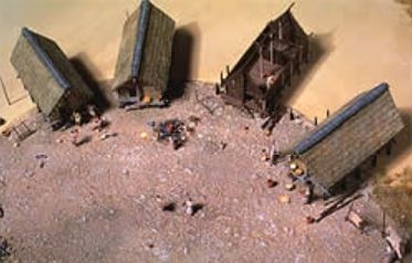
Clairvaux III, ca. 2,900 BCE.
Photo library Institut Claude-Nicolas Ledoux.
© Institut Claude-Nicolas Ledoux.
Photo: Gilles Abegg, model by Patrick Guillou.
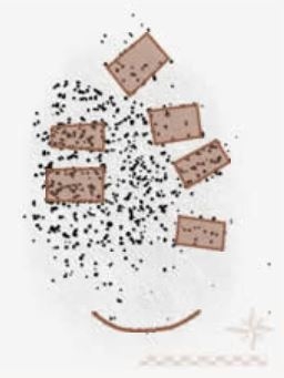
Map of Clairvaux III, recent phase.
Ca. 29th century BCE.
Drawing by P. Pétrequin and A. Viellet.