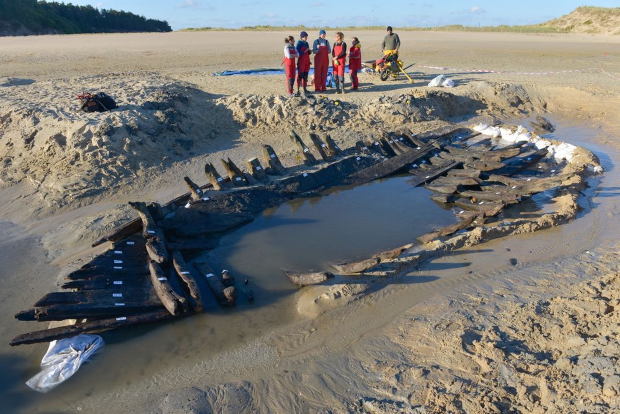

Of the 760 fish weirs identified on the coast of Brittany, eighty-three are underwater. Some of them are likely to be fish traps built in the prehistoric period.
Fish weirs on the foreshore
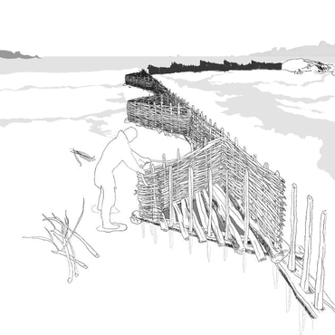
Long overlooked, the remains of ancient fish weirs situated in Brittany shed light on the interactions between humans and their environment, and on early fishing practices. Surveys begun on these constructions in 2011 are continuing with the cataloguing of a score of fish weirs located on the north Breton coast. Drones are being used to photograph the sites from heights of between 20 m and 200 m in order to identify their exact layout. By comparing these photos with older aerial views, archaeologists have been able to measure the rate of collapse of the constructions over a period of thirty to forty years.
Arch-Manche
The Archaeology, Art and Coastal Heritage project, or Arch-Manche for short, is a European cooperation programme involving Belgium, France, the Netherlands and the United Kingdom. The project has numerous scientific partners, including DRASSM. Arch-Manche is aiming towards the integrated management of coastal zones, basing its works on the available archaeological, environmental and historical data relating to coastal heritage. It also looks at artistic resources, in particular the artworks, paintings, watercolours and photos (1770–1940) that depict the coastlines under consideration.