
Like Italy, the Roman conquest of southern Gaul was followed by large-scale land surveys, the most common form of which was the division of the land into squares plots, known as centuriation. The creation of these plots, for tax purposes, was proved by the fortunate discovery of the marble forma from the public square of Arausio (present-day Orange). For the other cities, examination of vertical aerial photographs and topographical maps have resulted in the identification of heretofore unknown cadastral squares, and the recreation of a theoretical grid based on plot boundaries with recurring orientations.
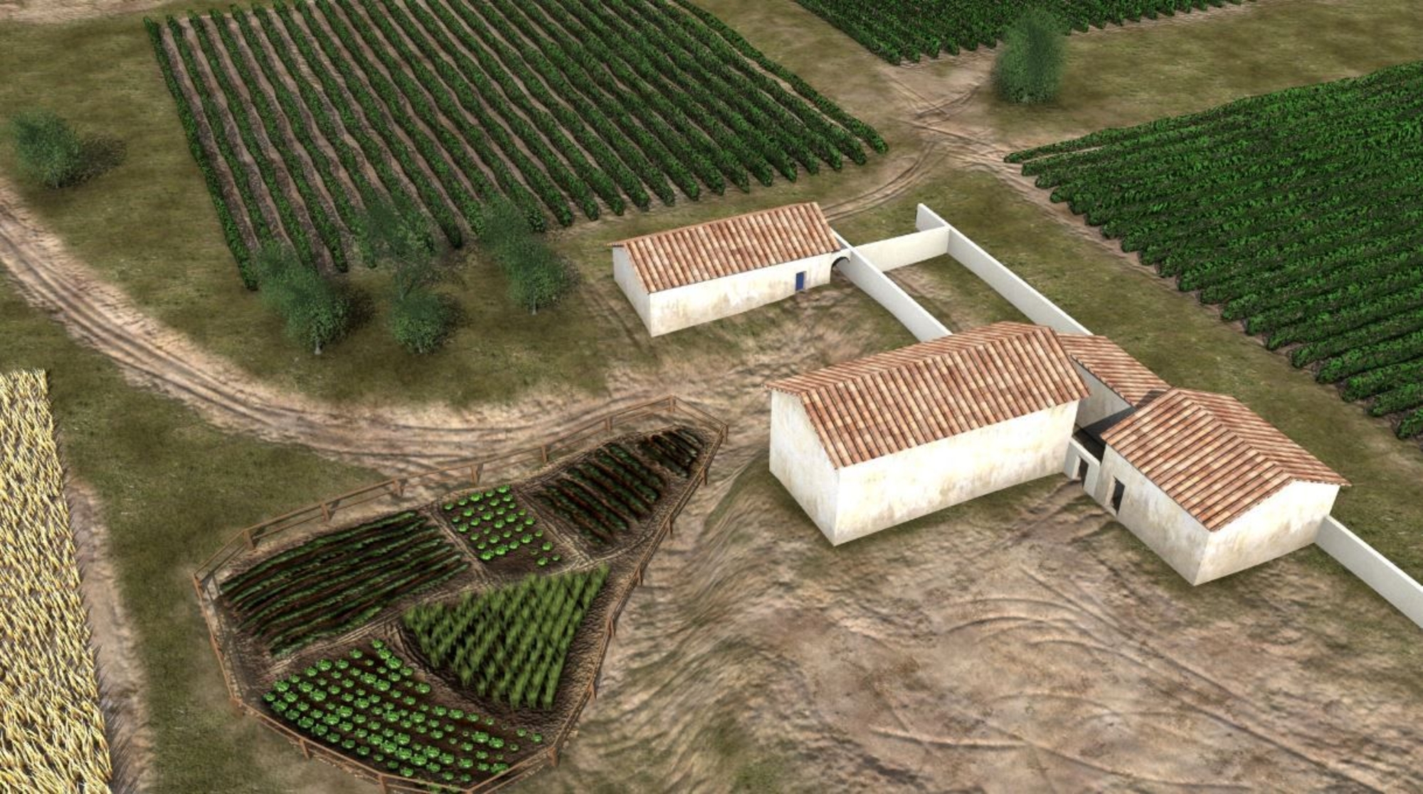
The current Languedoc landscape thus contains several dozen cadastral networks that influenced the region's agricultural history. These surveying operations were primarily carried out within the first hundred years of the Roman presence, and thus involved the period in which most of the villas appeared. The counterpart to this land division was the attribution of plots, which varied in size depending on the social rank of the recipients: colonists and indigenous populations who thereby had a land base for setting up a farm. The founder of the Loupian estate, which appeared around the mid-1st century BCE, might have been one of these. Nevertheless, the existence of other forms of land acquisition – through purchase or inheritance (or even fraudulent land-grabs) – cannot be ruled out.


